organicmaps: The ground cannot be rendered with my own generated MWM file via maps generator when zoom in map.
Hi all,
As title and the map generator command is:
python3 -m maps_generator --countries="World, WorldCoasts, China_Guangdong"
Here is the logs generated by map generator: https://drive.google.com/drive/folders/1QPm1EfO40gxmnXu29I4PGKWfVutFJ9aJ?usp=share_link
Before zoom in:
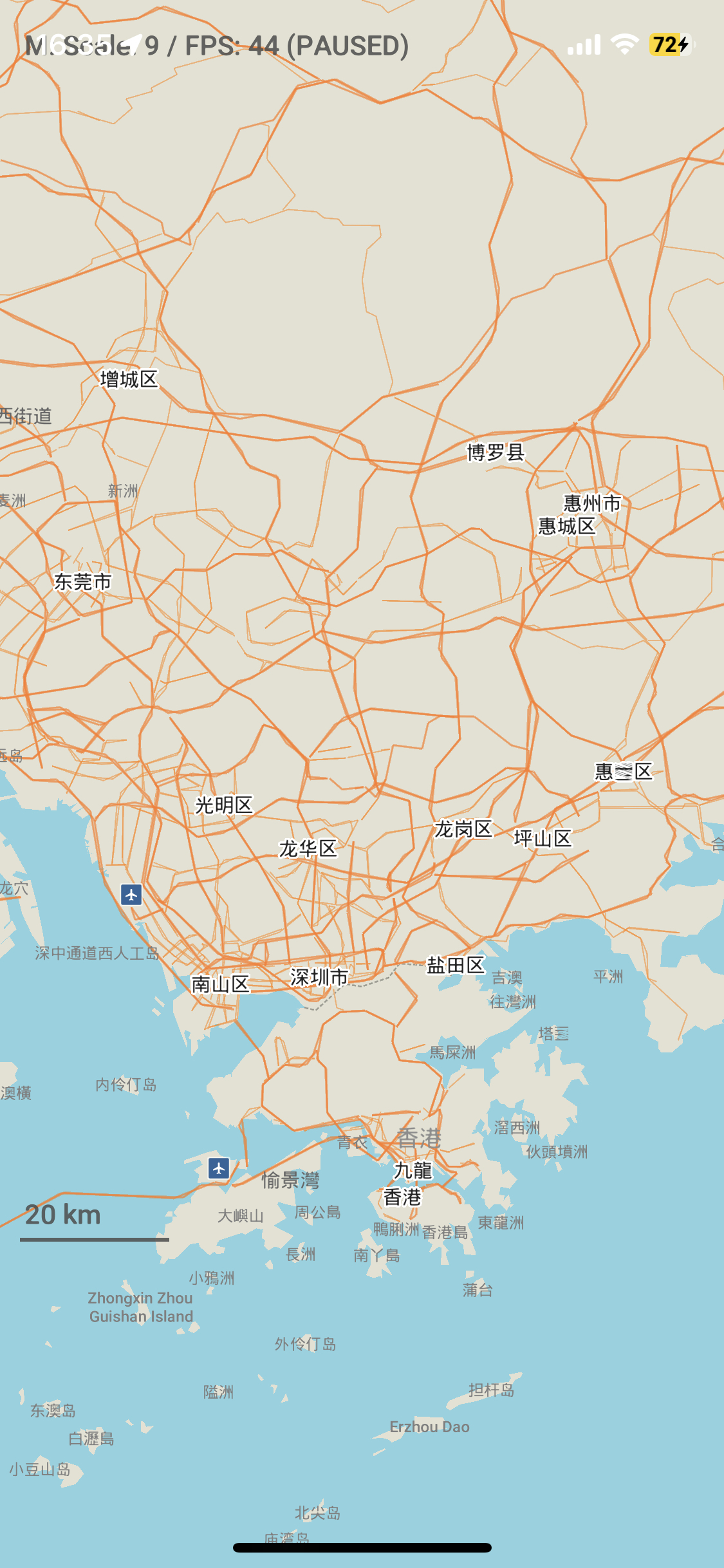
After zoom in:
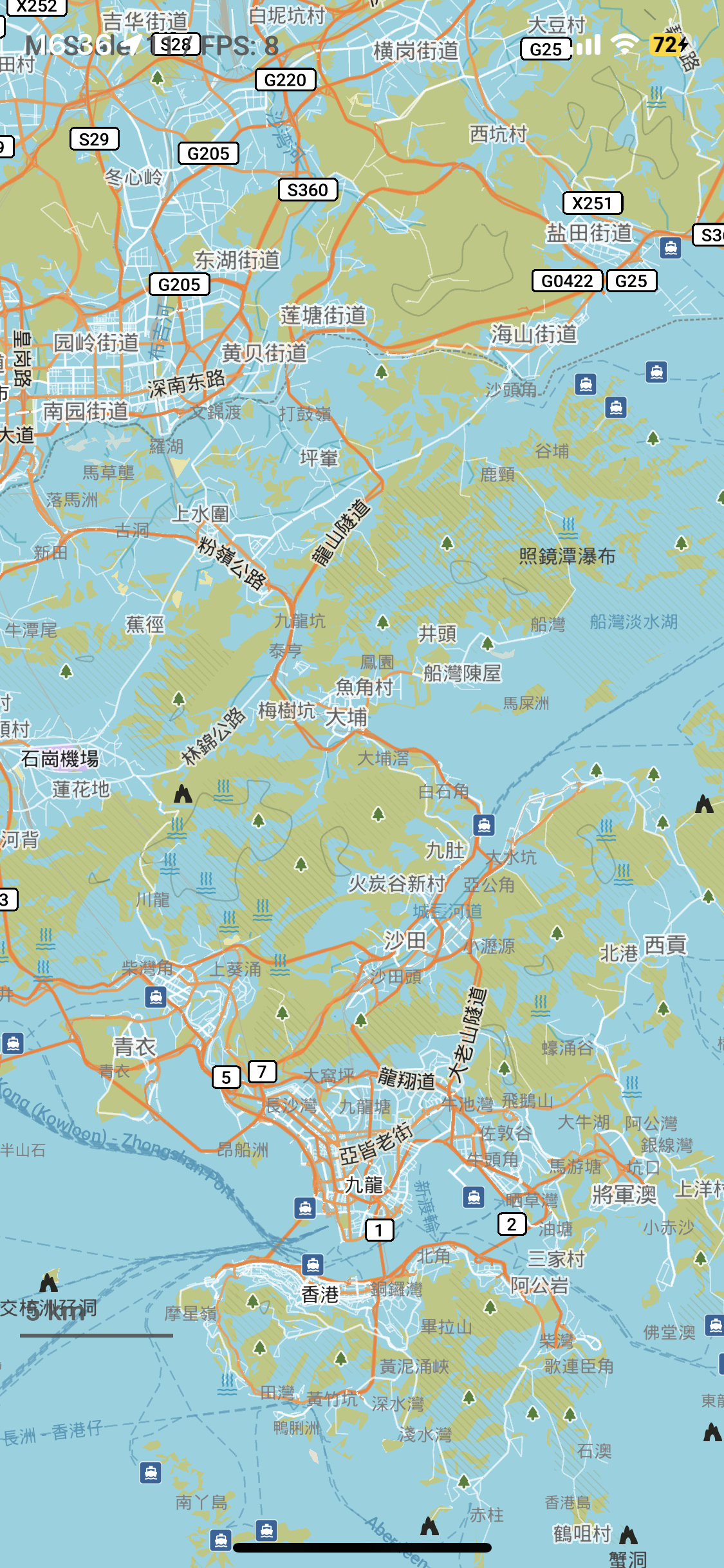
I didn’t encounter the problem with my own generated MWM file in other regions. Are any steps wrong for my generated MWM file?
Thanks so much.
About this issue
- Original URL
- State: closed
- Created 2 years ago
- Comments: 17 (8 by maintainers)
Now, you need to log in to see it. Yes, it is definitely possible to do this. We will make it visible even without logging in and let you know in this thread once the change is released. Thank you all and this awesome project.
Hi @biodranik,
We fixed this issue and thank you for your help.
Should be right. Looks like our manual is a bit misleading, the whole planet should be used as a source if you want to generate correct coastlines. Later you can reuse generated intermediate coastlines data in a country-only generation. Please let us know if you succeed, and update the tutorial accordingly.